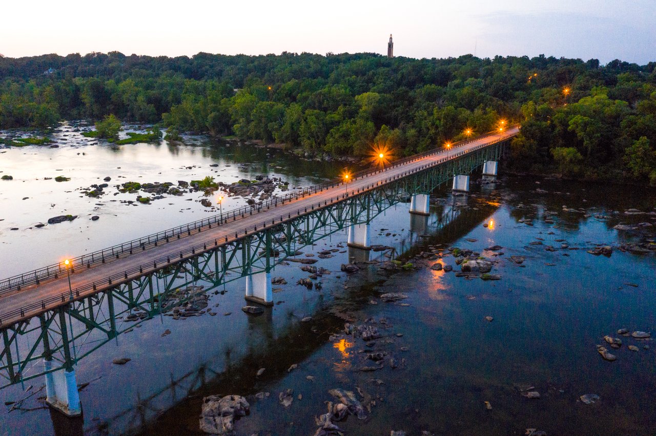
Woodland Heights is one of Richmond’s oldest and most enchanting neighborhoods, born as a streetcar suburb in 1889 by the Southside Land & Improvement Company. It was designed to offer healthy, graceful living just south of the James River, on high ground, with winding streets, generous old trees, and homes built mostly between 1895 and the early 1930s. The architectural character is rich and varied: Queen Anne, Colonial Revival, Craftsman, Italianate-Four Square, Tudor Revival and Cape Cod styles dominate, with a few later infill and apartment-buildings offering river views. Woodland Heights retains a distinct historic charm, thanks to its tree-lined avenues, proximity to Forest Hill Park, Canoe Run Park and the vast James River Park System, all of which anchor an active, outdoor lifestyle.
Convenience for daily life is excellent: Forest Hill Avenue provides a corridor of beloved neighborhood cafés and casual dining, and within a short drive or walk there are grocery stores, retail hubs including big-box anchors, specialty shops, and cultural amenities downtown. Healthcare needs are met via nearby major medical centers in south Richmond as well as emergency and specialty clinics that are just minutes away.
For families, Woodland Heights is served by Richmond Public Schools: the neighborhood falls in the zones for Westover Hills Elementary, Lucille M. Brown Middle, and Huguenot High School, with the Patrick Henry School of Science & Arts offering an application-based public option. Private schools in and around Richmond also provide a range of educational philosophies and environments for those seeking alternatives. With its blend of history, architectural beauty, access to parks and the river, and strong amenity infrastructure, Woodland Heights offers a rare combination of character and convenience for discerning homebuyers.
2,207 people live in Woodland Heights, where the median age is 42 and the average individual income is $52,226. Data provided by the U.S. Census Bureau.
Total Population
Median Age
Population Density Population Density This is the number of people per square mile in a neighborhood.
Average individual Income
There's plenty to do around Woodland Heights, including shopping, dining, nightlife, parks, and more. Data provided by Walk Score and Yelp.
Explore popular things to do in the area, including Pizzeria Mungo, Europa Crust, and Reviresco Coffee.
| Name | Category | Distance | Reviews |
Ratings by
Yelp
|
|---|---|---|---|---|
| Dining · $$ | 2.99 miles | 37 reviews | 4.9/5 stars | |
| Dining | 1.9 miles | 44 reviews | 4.8/5 stars | |
| Dining | 3.35 miles | 22 reviews | 4.8/5 stars | |
| Dining · $$ | 0.76 miles | 122 reviews | 4.7/5 stars | |
| Dining · $$ | 1.88 miles | 6 reviews | 4.7/5 stars | |
| Dining · $ | 0.93 miles | 33 reviews | 4.6/5 stars | |
| Shopping | 2.36 miles | 22 reviews | 4.8/5 stars | |
| Shopping | 4.77 miles | 4 reviews | 5/5 stars | |
| Shopping | 4.96 miles | 11 reviews | 4.6/5 stars | |
| Active | 3.35 miles | 8 reviews | 5/5 stars | |
| Active | 2.49 miles | 6 reviews | 5/5 stars | |
| Active | 3.19 miles | 23 reviews | 4.9/5 stars | |
| Active | 3.36 miles | 12 reviews | 4.8/5 stars | |
| Active | 4.97 miles | 17 reviews | 4.8/5 stars | |
| Active | 2.48 miles | 46 reviews | 4.7/5 stars | |
| Active | 1.76 miles | 82 reviews | 4.7/5 stars | |
|
|
||||
|
|
||||
|
|
||||
|
|
||||
|
|
||||
|
|
Woodland Heights has 1,121 households, with an average household size of 2. Data provided by the U.S. Census Bureau. Here’s what the people living in Woodland Heights do for work — and how long it takes them to get there. Data provided by the U.S. Census Bureau. 2,207 people call Woodland Heights home. The population density is 7,334 and the largest age group is Data provided by the U.S. Census Bureau.
Total Population
Population Density Population Density This is the number of people per square mile in a neighborhood.
Median Age
Men vs Women
Population by Age Group
0-9 Years
10-17 Years
18-24 Years
25-64 Years
65-74 Years
75+ Years
Education Level
Total Households
Average Household Size
Average individual Income
Households with Children
With Children:
Without Children:
Marital Status
Blue vs White Collar Workers
Blue Collar:
White Collar: